いまここ

DEM Digital Elevation Model Data for 3D Maps
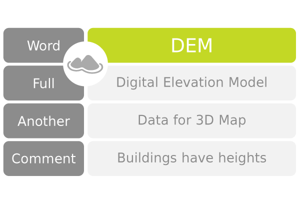
DEM Digital Elevation Model Data for 3D Maps

DEM Digital Elevation Model Data for 3D Maps

DEM Digital Elevation Model Data for 3D Maps

英語 EnglishDigital Elevation Model 
日語 Japanese数値標高モデル (すうちひょうこうもでる) 
類義 SynonymDEM XYZ model Elevation map
意味 MeaningDigital Elevation Model is a map with elevation data. In simple terms, it is a three-dimensional map with length, width, and height.
Digital Elevation Model allows users to see the height of buildings and trees at a glance.
DEM is the abbreviation for Digital Elevation Model among developers.
解説 CommentaryDigital Elevation Model is a spec and there are a number of implementations such as SRTM, ASTER, and ALOS.
多言語対応 Multilingualism
韓文 Hanguel수치표고모형 (RR2000 suchipyogomohyeong 발음 수치표고모형 suchipyogomohyeong)
中文 Chinese繁体 數字高程模型 簡体 数字高程模型 (
shùzìgāochéngmóxíng shu4zi4gao1cheng2mo2xing2)
探究 Further study
CGIAR (Consultative Group for International Agricultural Research) CGIAR-CSI (Consultative Group for International Agricultural Research-Consortium for Spatial Information)

スポンサーさん

Type of DEM SRTM DEM

英語 EnglishSpace Shuttle Radar Topography Mission 
日語 Japaneseスペースシャトルレーダー地形データ 
類義 SynonymSRTM SRTM DEM
意味 MeaningSRTM DEM is topographical data collected by radar from the Space Shuttle to Earth. In addition to latitude and longitude data, SRTM DEM has elevation data for mountain ranges. This data enables the development of 3D maps.
SRTM DEM was developed by NASA (National Aeronautics and Space Administration). The development began in 2000 with the launch of the space shuttle Endeavour.
解説 CommentarySRTM DEM has been updated several times over the years to improve its accuracy.
更新版 SRTM DEM history

DateHistory of Development
2000Space Shuttle Endeavour launched
2003SRTM Version 1
2013SRTM Version 3

データ名 Data nameSRTM Version 3
拡張子 File extension.hgt
精度 Accuracy30 meters
範囲 CoverageDigital elevation models on a near-global scale from 56°S to 60°N
解説 Commentary.hgt is a file extension for geographic information data files. It is used by the USGS (United States Geological Survey) and other organizations.

Type of DEM ASTER DEM

英語 EnglishAdvanced Spaceborne Thermal Emission and Reflection Radiometer 
日語 JapaneseASTER (あすたー) 
類義 SynonymASTER DEM ASTER GDEM
意味 MeaningASTER is an imaging sensor installed on the space shuttle, which collects electromagnetic and thermal data. It was developed by NASA, and the Japanese government cooperated through material development. ASTER DEM was part of a joint project between the United States and Japan that started in 1999.
解説 CommentaryASTER DEM is the result of over 10 years of data collection. It has been released to the public and has varying degrees of accuracy. The data of the earth's surface is useful to develop 3D maps.
更新版 ASTER DEM history

DateHistory of Development
1999ASTER project started
2009ASTER GDEM 1 released
2011ASTER GDEM 2 released
2019ASTER GWBD 3 released
2019ASTER GWBD released

Type of DEM ALOS DEM

英語 EnglishAdvanced Land Observing Satellite Daichi 
日語 Japanese先進観測衛星大地 (せんしんかんそくえいせいだいち) 
類義 SynonymALOS (あろす) ALOS DEM JAXA Global ALOS 3D World
意味 MeaningALOS is an observation satellite developed by Japan Aerospace Exploration Agency (JAXA).
The Advanced Land Observing Satellite is called Daichi (だいち 大地) in Japanese.
ALOS-1 was launched in 2006, and ALOS-1 in 2014. Each launch has improved the technology, allowing for more accurate data.
ALOS DEM has the ground surface data with 30-meter spacing. ALOS DEM is available to the public.
解説 CommentaryALOS-3 has a sensor with a resolution of 0.8 meters on the ground.
更新版 ASTER DEM history

DateHistory of Development
2006だいち1号(ALOS-1) Launched
2011だいち1号(ALOS-1) Operation terminated
2014だいち2号(ALOS-2) Launched
202xだいち3号(ALOS-3) Launched

DEM Digital Elevation Model Reference

科目別 By Subject

社会  中学受験カリキュラム

社会  世界地理  高校受験カリキュラム

社会  政治経済  大学受験カリキュラム

単元別 By Section

社会  日本地理

社会  世界地理

対象別 By Curriculum

中学受験生(小学4年+小学5年+小学6年)
高校受験生(中学1年+中学2年+中学3年)
大学受験生(国公立高校生+私立中高一貫校生)
大学生+社会人(基礎からやり直したい生徒)

プロ家庭教師の社会地理教材で、指導歴10年以上の講師が執筆しています。オンライン学習用で、生徒・保護者・教員・家庭教師のために、無料ダウンロードを提供します。

スポンサーさん