【Downloads】

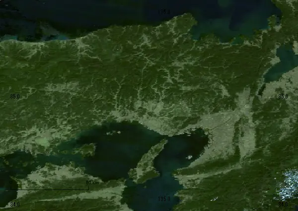
Sat Map of Hyogo Japanese National Curriculum
【How to Print】
自宅のプリンターあるいは最寄りのコンビニで印刷できます
Print at home or the nearest Conveni.
ファイルの形式はPDF(ぴーでぃーえふ)です。
File extension is PDF(Portable Document Format).
版型(印刷する紙の大きさ)は、A4(えーよん)が一番キレイに印刷できます。
Optimal Paper Size is A4(210x297 in millimeters, 8.27x11.69 in inches).
【Disclaimer】
We use data of 国土地理院(こくどちりいん Japan National-Land Information Office) up to date. However, political matters might change maps in the future.
【Private Tutors for K-12 + College Prep】
Japanese-English private tutors are available. Please
contact us.
【Useful Links】
NCEE Japan Learning Systems
質問と回答